India's 1st integrated & DGCA Approved Aviation Academy for Aircraft & Drone Pilot Training
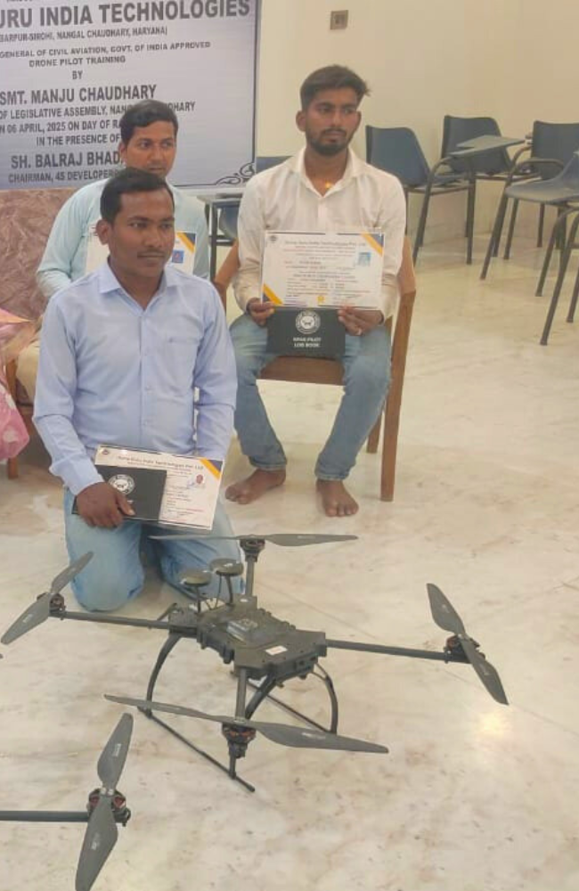
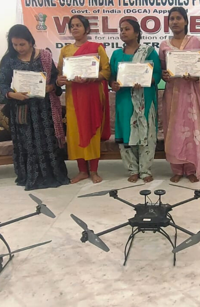
Drone Guru India Technologies Pvt. Ltd. is DGCA, Govt. of India approved RPTO that provides UAV/DRONE Training and Certification Programmes.
Drone Guru India Technologies Pvt. Ltd. was incorporated in 2023, committed to advancement of Management Education, Research, Training and Consultancy.
Established in 2023
Drone Guru India Technologies Pvt. Ltd.
Drone Guru India Technologies Pvt. Ltd. is DGCA, Govt. of India approved RPTO that provides UAV/DRONE Training and Certification Programmes.
Drone Guru India Technologies Pvt. Ltd. was incorporated in 2023, committed to advancement of Management Education, Research, Training and Consultancy.
800+
CPL/ATPL Pilots Trained
1000+
Drone Pilots Trained
500+
Testimonials
2+
Centers
The institute offers courses on safe flying techniques, aerial photography, videography, and regulatory compliance, helping hobbyists and content creators master their drones.
The institute provides industry-specific training for sectors like agriculture, construction, logistics, and infrastructure inspection. Participants learn about autonomous flight, data collection, mapping, and regulatory standards to optimize drone usage for business applications.
Training focuses on tactical drone operations, surveillance, reconnaissance, and advanced piloting skills for military and security applications. Courses cover mission planning, night operations, and counter-drone strategies.
Small RPC - Drone Pilot Training Small RPC - Drone Pilot Training
5 Days training course to get Remote Pilot Certificate and become DGCA certified Drone Pilot in small category (Weight up to 25Kg)
Medium RPC - Drone Pilot Training
Get Remote Pilot Certificate (RPC) and become DGCA certified Drone Pilot in medium category (Weight up to 50Kg)
(TTT) - Drone Instructor Pilot Training
4 Days training course to be eligible for DGCA viva to become a certified Remote Pilot Instructor in small category
Eligibility
- Must Have Small Category RPC
- Qualification: The applicant shall have passed a Degree Course from a University/Institutes recognised by UGC/AICTE or equivalent; or having a valid PPL/ CPL, AME/ ATC Licence or Diploma (03 years) in technical subject from a recognized institute
- Age: Between 18 - 65 yrs
- Must have: Aadhaar & Valid passport/Driving License/Voter ID/Ration Card (anyone of these)
Comprehensive Services Offered by Our Drone Training Institute
Land Mining
Drones are transforming the mining industry by offering faster and safer ways to survey land, monitor excavation sites, and assess mineral deposits. Our training includes aerial mapping, volumetric analysis, and 3D modeling to help mining professionals optimize resource extraction while ensuring environmental compliance. By integrating drone technology, companies can reduce manual labor, minimize safety risks, and improve operational efficiency.
Material Supply
Drone technology is reshaping the logistics of material supply by enabling aerial transportation of lightweight construction materials, tools, and emergency supplies. Our training program helps businesses implement drone-based delivery systems, optimize supply chain logistics, and improve turnaround times. We also provide insights into drone payload capacity, route planning, and automated delivery systems to streamline operations.
Architecture & Design
Architects and urban planners are increasingly using drones for aerial surveys, 3D modeling, and site visualization. Our training covers photogrammetry, LiDAR mapping, and high-resolution imaging to help professionals create accurate digital blueprints and assess project feasibility. With drones, architects can capture real-time site data, improve design precision, and enhance project presentations with immersive visuals.
Drones have revolutionized aerial cinematography, journalism, and photography by offering innovative perspectives previously limited to helicopters and cranes. In cinematography, drones enable filmmakers to capture sweeping landscapes and dynamic action scenes with greater precision and at lower costs. Journalists use drones for real-time reporting in difficult-to-reach areas, providing aerial views of events like natural disasters or protests. Photographers benefit from drones’ ability to capture stunning high-angle shots, transforming landscapes and cityscapes. Their versatility, affordability, and ability to capture unique angles have made drones an essential tool in these fields, enhancing storytelling and visual expression.
Drones are revolutionizing agriculture, aquaculture, and forestry industries by enhancing efficiency and sustainability. In agriculture, drones monitor crop health, apply pesticides, and assess soil conditions, reducing labor costs and improving yield. In aquaculture, drones help manage fish farms by monitoring water quality, feeding patterns, and fish stock health from above. In forestry, drones are used for forest mapping, tracking tree health, and identifying areas affected by disease or fire. Their ability to gather real-time data, cover large areas, and minimize environmental impact makes drones a valuable tool for advancing precision farming and resource management across these industries.
Drones are transforming disaster management, search, and rescue operations by providing rapid, real-time aerial assessments of affected areas. Equipped with cameras, thermal sensors, and GPS, drones can access dangerous or hard-to-reach locations, offering critical information to rescue teams. They quickly survey disaster zones, identify stranded individuals, and assess damage, enhancing decision-making and reducing response time. In search and rescue, drones can cover large areas, locate missing persons using infrared technology, and deliver essential supplies. Their versatility, speed, and ability to operate in hazardous conditions make drones invaluable tools for modern emergency response efforts.
The use of drones in logistics and cargo delivery is revolutionizing the industry by offering faster, more efficient transportation solutions. Drones can bypass traditional traffic routes, delivering packages directly to destinations in record time. They are especially valuable for last-mile deliveries, reducing costs and improving service in remote or hard-to-reach areas. Additionally, drones can carry small to medium-sized packages, streamlining the supply chain and enabling companies to meet customer demand quickly. As technology advances, drones are becoming a sustainable option, reducing carbon emissions and contributing to a greener, more efficient logistics network.
Drones are transforming surveillance, monitoring, and law enforcement by providing real-time aerial views of vast areas. Equipped with cameras and sensors, they help monitor large crowds, detect criminal activities, and track suspects, reducing the need for on-ground personnel. In law enforcement, drones are used for search-and-rescue operations, traffic management, and crime scene analysis, offering quick data collection and reducing human risk. Their ability to capture high-resolution images, operate in dangerous environments, and provide 24/7 monitoring makes drones a crucial tool for enhancing public safety, ensuring security, and improving the overall efficiency of law enforcement agencies.
Drones are revolutionizing the field of surveys and mapping, offering a fast, efficient, and cost-effective solution for geographical analysis. Equipped with advanced cameras and sensors, drones can capture high-resolution images and detailed topographic data, enabling precise mapping of large areas. Their ability to access difficult terrains, such as mountains or forests, makes them invaluable for environmental monitoring, urban planning, and infrastructure development. Drones also reduce the time required for data collection, enhance accuracy, and improve safety by eliminating the need for human presence in hazardous areas. This technology is transforming how we understand and manage geographical landscapes.
Course Duration – 5 days
Certification
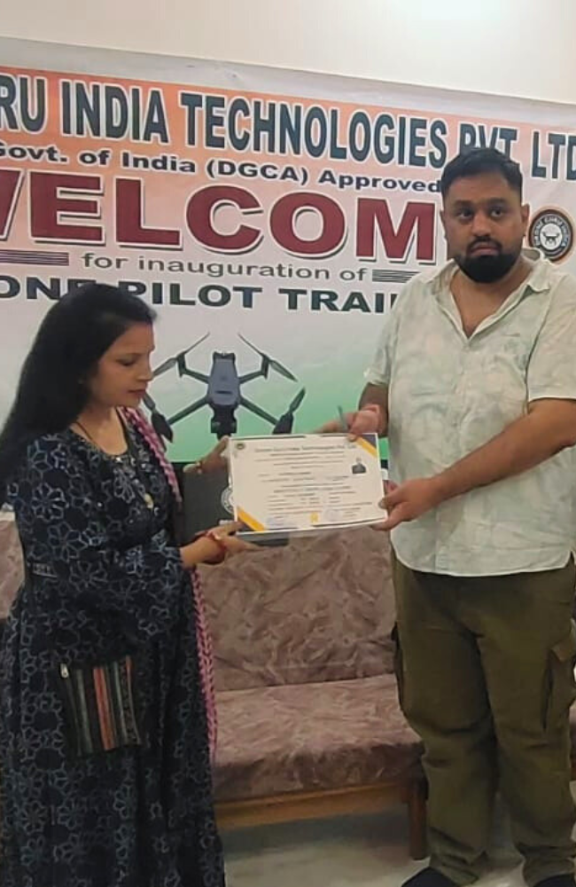
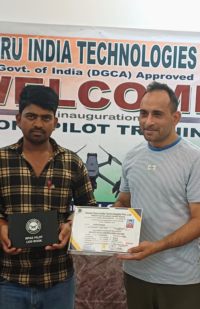
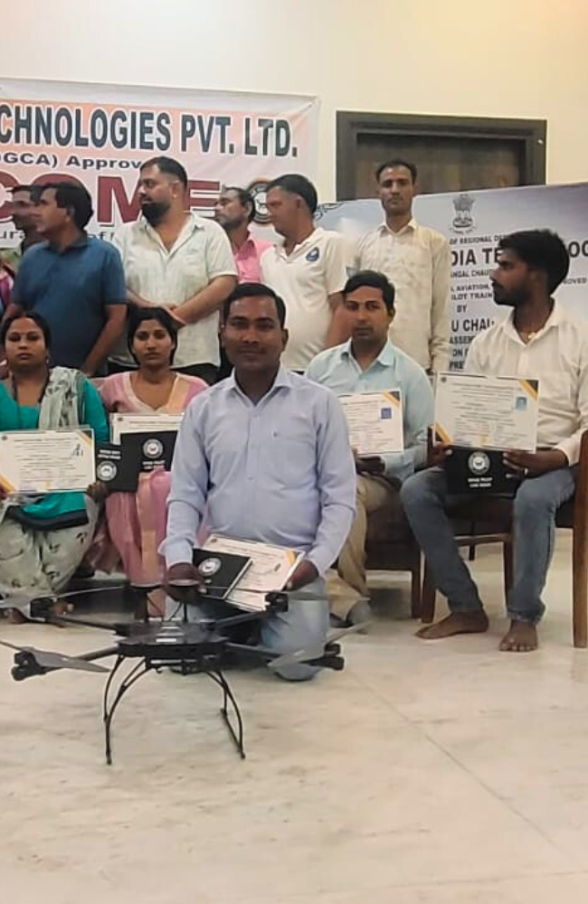
Upon successful completion of the course, you will be awarded Completion Certification from Drone Guru India
RPTO Locations
Delhi: +91 9560218888
Nangal: +91 7579908888
Additional
- Complimentary Meals
- Pick & Drop Facility (Office to Field)
- Subsidized Accommodation